
Walk the Avondale Street Directory
A sound search starts with one known Avondale address. The street directory is a chain, not a single roll. The assessor identifies the taxable parcel and recorded owner. Its map reveals nearby parcel outlines. The recorder then supplies the instrument that moved title, while city permit reports add dates for work at the site. Historical address books can identify a listed householder. Each source answers a different question, so a name should never be carried from one record into another without matching the parcel, date, and legal description.
- Normalize the street number, direction, name, and type. Search the Maricopa County Assessor, then retry without the street type if no parcel appears.
- Save the APN, owner, situs address, separate mailing address, subdivision or MCR, current deed number, and improvement facts.
- Open the parcel in the county viewer. Click mapped parcels one at a time instead of treating a broad result set as a list of occupants.
- Use the current deed number in the recorder index. Match the parties and legal description, then search the seller as an earlier buyer when a title trail is needed.
- For an older household clue, compare the address in the 1962 and 1963 criss-cross volumes and then check the alphabetical directory entry.
This street-by-street sequence keeps ownership apart from residence. It also makes a failed search useful. A changed APN points toward parcel history, an address mismatch points toward the legal description, and a missing directory entry may reflect a subscriber or enumeration gap. None of those facts proves that nobody lived at the site.
Search Avondale Streets in Assessor
The assessor's global query is the main front door for a modern Avondale street directory. It accepts more than a full address. A city, ZIP, subdivision, or MCR query can build a broader parcel set, though large results have limits. Owner names should be entered in full. APNs work with or without punctuation and suffixes. When a parcel split or combination retires an APN, the office offers a parcel-history report through ASR.PA@maricopa.gov.
| Search input | Accepted form | Useful result | Search caution |
|---|---|---|---|
| Street address | Number, predirection, street, abbreviated type, optional city, state, ZIP | APN and parcel card | Omit the street type if the full form fails |
| Owner | Full owner name | Parcels under the indexed owner | Do not abbreviate the first name |
| Area | City or ZIP | Multiple parcels | Results do not establish occupancy |
| Subdivision | Name or MCR | Linked parcel group | Match the recorded plat |
| Survey | Section, township, range | Land-search context | Use with map and legal description |
The official assessor search help shows these formats. Its screen is captured below so the input guidance remains tied to the real county service.
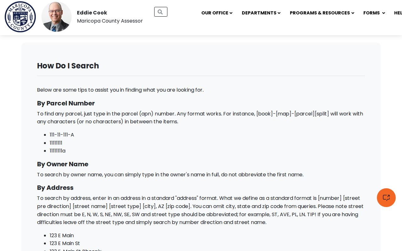
The help page confirms that address, owner, city, ZIP, subdivision, and survey clues belong in one parcel workflow, not in separate speculative searches.
Read Avondale Address Clues
One parcel card may show several addresses and identifiers. The situs is the physical location of the land. The owner mailing address is where tax correspondence goes. A different mailing address can reflect many ordinary arrangements, and it is not proof that the owner lives elsewhere. The deed number links the card to a recorded instrument. Book, map, and item fields help locate the subdivision plat, while the legal description guards against changes in the postal label.
- Parcel
- A mapped unit of land tracked for assessment, usually identified by an assessor parcel number or APN.
- Situs address
- The physical property address, distinct from the address used for tax mail.
- Plat
- A recorded map that lays out lots, blocks, streets, and subdivision boundaries. Maricopa records may refer to its MCR number.
- Criss-cross directory
- An address-first directory arranged by street and house number rather than only by surname.
The Maricopa property search itself is shown below. It is the correct source for the current parcel clue that starts an Avondale by-address search.
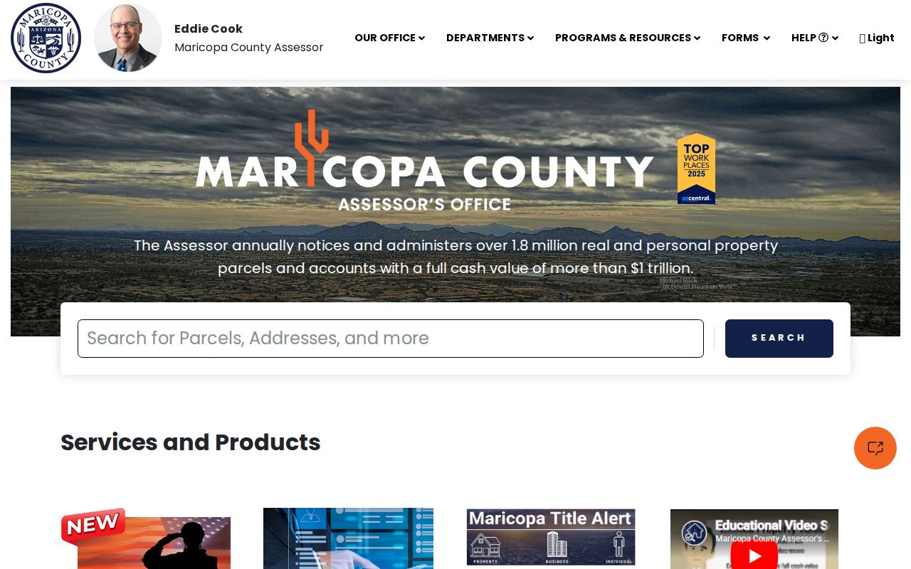
The parcel result can identify an owner and a deed link, but it does not name every person at the address.
Note: An APN can change after a parcel split or combination, so preserve the legal description and MCR with every saved result.
Map Avondale Street Parcels
The Assessor Parcel Viewer adds the spatial layer. Its documented search choices include APN, parcel owner name, subdivision, MCR, section and township/range, ZIP Code, and Map ID. The address locator accepts a number and name with optional direction, street type, and ZIP. For an intersection, use an ampersand or the word AND, with at least one street type. Search results can be selected to zoom and open Feature Information.
Use the viewer to follow parcel shapes along a named Avondale street. Broad city, ZIP, or subdivision selections can help define the set, but the public interface has result limits and its polygons are illustrative rather than a survey. Clicking parcels one at a time reduces same-name and boundary errors. The map can also reveal that a mailing label, assessor subdivision, neighborhood, and city limit are not the same geography.
Can the map identify everyone on a block? No. It displays land and linked parcel facts. Owners may differ from occupants, and the public help does not document a consumer button that returns nearby residents.
Follow Avondale Street Deeds
The assessor's current deed number is the clean bridge from an Avondale address to the Recorded Document Search. A recorder result may show indexed parties and roles, document type, recording date, document number, book and page, page count, legal description, and an unofficial image. Match the legal description before treating the instrument as part of the parcel's chain. A deed of trust, lien, release, or trustee-sale notice is not itself proof that ownership changed.
Recent full-text research accepts an address or legal phrase, with spaces acting as AND, quotation marks for an exact phrase, and OR available. That mode covers only the latest two years. For older Avondale street work, search by the known document number, party name, business name, document code and date, or docket/book/page. The recorder's permanent real-estate series dates to Maricopa County's formation in 1871, but the inspected pages do not publish a firm earliest cutoff for a complete current online party index.
Free unofficial page images open through the Pages box. Official copies cost $1 per page, and certification adds $3 per document. Alternatives include the Recorder counter at 301 W Jefferson Street, Suite 200 in Phoenix, telephone at 602-506-3535, and an identified-record request by county portal, email, fax, or mail. Give the party, date, legal description, and book/page when the web result stalls.
Date Avondale Streets With Permits
Avondale's building permit reports place construction and alteration work in time. Monthly PDF and spreadsheet sets are grouped from 2020 through 2026. Categories include detached and attached residential work, additions, solar, walls and fences, pools, signs, and trade permits. The archive is not a verified interactive address index, so use a likely month or project clue and request the underlying file when the report lacks enough address detail.
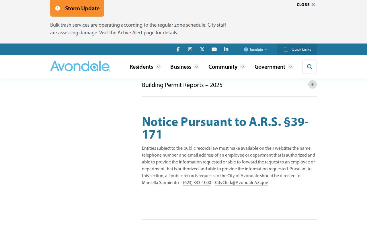
The archive can date work on a parcel, yet a permit applicant or contractor should not be recast as a resident.
When more detail is needed, the Avondale records request route separates general city, court, and police requests. Building and code material belongs with the city clerk process; the city says it strives for a response within 72 hours, while complexity or review can take longer.
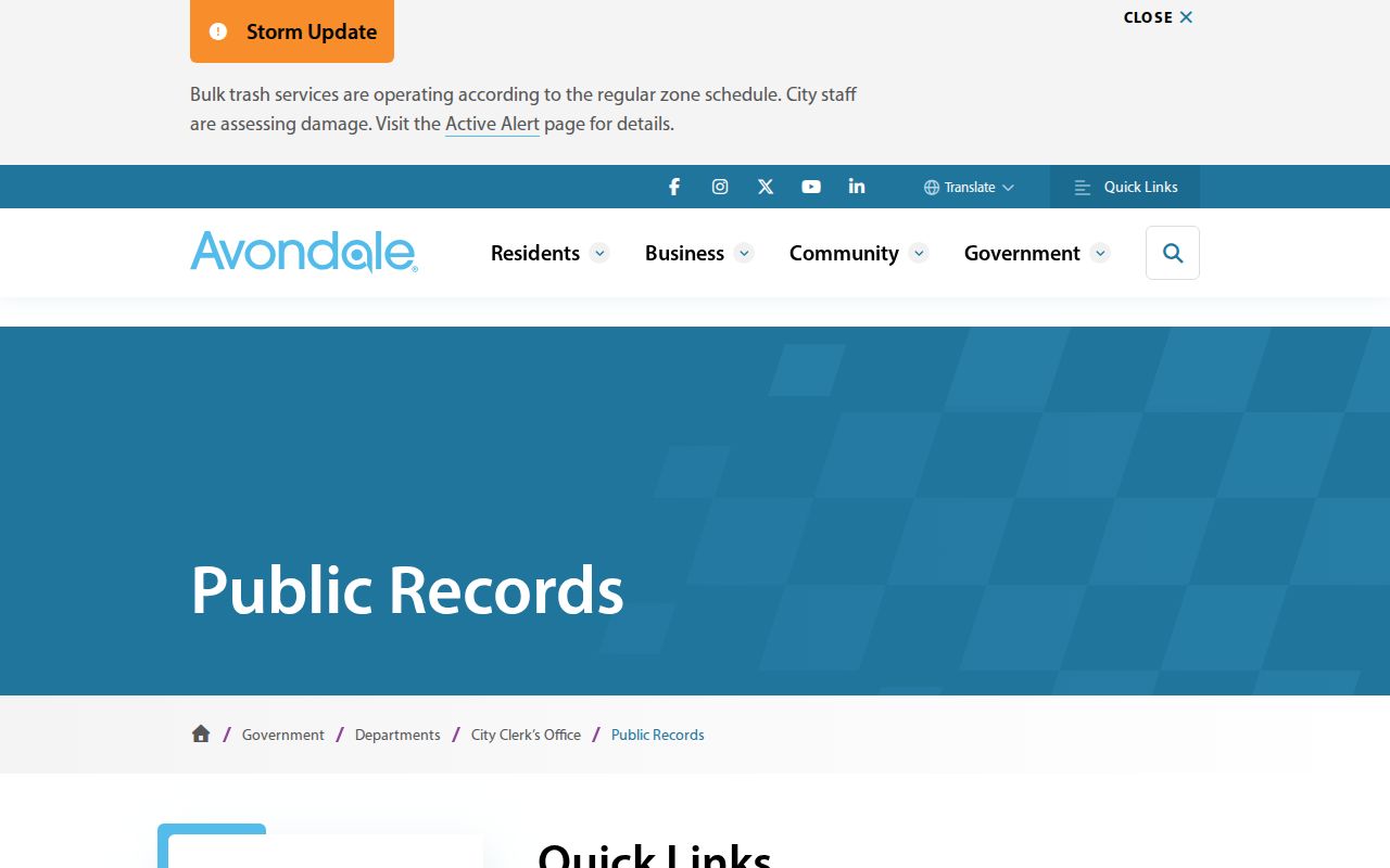
This fallback matters because no verified public address-keyed code-case index was found. A focused request should name the address, date range, record type, and any permit or case number.
Avondale Street Records Coverage
No Avondale street directory source covers every person or every era. The table keeps each address-keyed record within its proven scope. Current parcels and deeds are strongest for ownership. Permit reports add work dates. Voter access is controlled by Arizona law. Printed reverse volumes offer only historical snapshots.
| Address source | Custodian | Street evidence | Available channel |
|---|---|---|---|
| Parcel and tax roll | Maricopa County Assessor | Owner, situs, mailing, APN, deed and improvement facts | Free search, viewer, data products, parcel-history email |
| Recorded instruments | Maricopa County Recorder | Parties, transfer date, document type, legal description and image | Online index and images; copy order; counter, phone, portal, email, fax or mail |
| Permit reports | Avondale City Clerk | Project category and timing | Monthly 2020-2026 files; focused public-record request |
| Voter material | Maricopa County Recorder | Fields allowed by A.R.S. §16-168 | One-person self-check or authorized request; no verified street browser |
| Criss-cross volumes | Arizona Memory Project | Listed householder and telephone by address | Digitized 1962 and 1963 regional volumes |
The Arizona Voter Information Portal is designed for one person's self-verification. A lawfully requested voter compilation has purpose, field, fee, and redistribution limits, with protected registrations suppressed. Election participation history records elections in which a person participated, never the person's ballot choices.
When Avondale Addresses Shift
Avondale records carry two proven continuity traps. Older sources may use Coldwater, the settlement name tied to William Moore's postmaster years, rather than Avondale. Postal geography also changed when USPS created 85392 on July 1, 2007 by moving 12,399 deliveries from 85323. A physical site may therefore appear under a different place or ZIP label without moving.
Legal descriptions, subdivision names, MCR references, and parcel history are safer bridges than a modern street directory string alone. City Geospatial Services assigns Avondale addresses, while city boundary, assessor subdivision, and postal ZIP remain separate layers. No authoritative, complete Avondale street-renaming or renumbering chronology was found. Do not invent one. For an unclear old address, search both Coldwater and Avondale, compare 85323 and 85392 where the date fits, then ask the city for tailored GIS data or the assessor for parcel history.
Note: The 2007 postal split is a search clue, not evidence that an address entered or left Avondale city limits.
Reverse Avondale Streets in Print
The 1962 and 1963 Cole regional volumes reverse a street into house numbers, listed householders, and telephone clues. Mullin-Kille's Householders' Directory and Street Telephone Guide provides another address-first route. Begin with the street section, record the exact household line and any ownership symbol, then check the same surname in the alphabetical resident division for the context printed there. Compare both years rather than treating either as a permanent roll.
These books are filed under Greater Phoenix, Glendale, and Mountain States titles, not under a neat Avondale-only label. The detailed collection runs and reading methods belong to the Avondale city directory. For street work, their value is narrower: they can supply a historical householder where the modern assessor can only supply an owner. Absence can mean the household was missed, lacked a listed telephone, or fell outside that edition's coverage.
Limits of Avondale Street Lookup
A public address search has firm limits. The assessor does not enumerate renters, relatives, or other household members. The voter self-check is not an open browse-by-street roll. Motor-vehicle addresses are restricted by federal law, and no public utility or delivery-customer list was verified. Arizona also protects some voter and real-property address information. A missing name may reflect a protected record, a source's narrow purpose, or a normal lag in updating.
Commercial street tools combine bought and copied data. Their results may merge people, preserve an old address, or mistake an owner's mail address for a home. Use official records to test a lawful personal question, and correct an error with the custodian that created the record.
Lawful use. Avondale address records support family history, parcel research, civic review, and personal safety. Never use them to stalk, harass, intimidate, or harm anyone.