
Avondale ZIP Directory Coverage
Two verified delivery ZIPs serve Avondale: 85323 and 85392. Their broad area descriptions are useful for orientation, but neither boundary should be guessed from a neighborhood name. Postal routes can cross a municipal line, and an Avondale mailing label does not by itself prove that City of Avondale services apply.
| ZIP | Areas Covered | Post Office | Local Notes |
|---|---|---|---|
| 85323 | Historic, southern, and central Avondale; Old Town and civic-center addresses | Avondale Post Office; 85323 carrier and pickup operations use the Avondale facility | Primary pre-2007 Avondale code; its edge differs from the city line |
| 85392 | Northern Avondale around the I-10, McDowell, and Indian School corridors; many newer subdivisions | Exact authoritative station not located | Created July 1, 2007 from 12,399 former 85323 deliveries; preferred city line is Avondale |
No verified Avondale PO-box-only or unique institutional ZIP was found. A city budget source documented more than 400 Avondale households outside the two primary ZIPs at that time. That finding confirms the mismatch but does not supply an exhaustive list of edge parcels. Verify each uncertain address rather than forcing it into a two-row summary.
Avondale's 2007 ZIP Split
The key Avondale ZIP code story is unusually exact. The USPS Postal Bulletin notice created 85392 effective July 1, 2007. It moved 12,399 deliveries out of 85323 and specified AVONDALE AZ as the preferred last line. A 2009 USPS table later paired Avondale with both 85323 and 85392, while Goodyear was paired with 85338 and 85395.
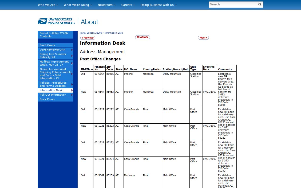
The official notice gives a firm date for historical searches. Records created before the change may place an address in 85323 even when its present delivery code is 85392. Save the source year beside every postal label, then search both codes when a record trail crosses 2007.
Key date: July 1, 2007 marks the effective transfer of 12,399 deliveries from Avondale ZIP 85323 into new ZIP 85392.
Find Avondale Records by ZIP
A ZIP-wide property result is a parcel set, not a roster of occupants. The Maricopa County Assessor property search accepts a city or ZIP query and returns multiple parcels. Records can show an owner name, separate situs and mailing fields, APN, deed number, sale data, legal description, and improvement details. APN means assessor parcel number. An owner may live elsewhere, and a mailing address is the tax-correspondence destination.
- Confirm the current delivery code through USPS address lookup before choosing the ZIP filter.
- Run 85323 or 85392 in the assessor and retain the situs ZIP, APN, owner, mailing address, deed number, and legal description.
- Open the Assessor Parcel Viewer by ZIP Code, then inspect map placement and adjoining parcel outlines.
- Use Avondale's city boundary and service maps to test incorporation rather than relying on the mailing city.
- Narrow the results to a parcel or street. The Avondale street directory covers that address-level workflow.
The assessor can return a broad set, but its public service has result limits. Do not describe a ZIP search as complete when a query is capped or when a parcel has retired after a split or combination. Parcel-history help is available from the assessor at ASR.PA@maricopa.gov.
Avondale ZIP Search Fields
The official assessor search help documents far more than a ZIP box. The global search accepts several record keys, so a broad Avondale ZIP code directory result can be narrowed without guessing which household occupies a parcel.
| Field | Accepted Input | Useful Result |
|---|---|---|
| ZIP or city | ZIP code or city name | Multiple parcels in the selected geography |
| Property address | Number, direction, street, abbreviated type, optional city/state/ZIP | Parcel tied to a situs address; omit street type if no match |
| Owner | Full owner name without shortening the first name | Parcels indexed to that owner |
| APN | Parcel number with or without punctuation and suffix | Direct parcel record |
| Subdivision or MCR | Subdivision name or map reference | Enumerated parcels and durable plat context |
| Section/Township/Range | Land-survey identifiers | Regional parcel grouping |
The Assessor data products page describes master, residential, subdivision, and other datasets with city and ZIP fields.
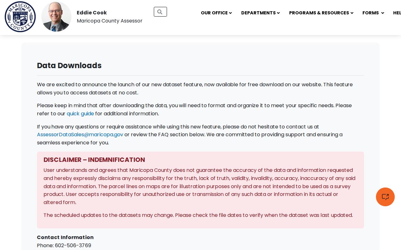
The dataset screen confirms that ZIP is a field within property data, not a substitute for parcel identity. Keep the APN and legal description when exporting or comparing records.
Avondale ZIPs and City Limits
Postal geography delivers mail. Municipal geography determines incorporation and city services. A mailing address can say Avondale without establishing that the parcel lies within the city, while an incorporated parcel may sit near a delivery edge. The safe method keeps each field in its proper role.
The City of Avondale maps page links city boundary, neighborhood, zoning, and My Avondale Services tools.
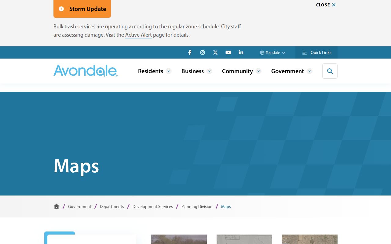
The mapped city line supplies the incorporation test that a ZIP polygon cannot. City Geospatial Services assigns Avondale addresses and maintains the local GIS, so a tailored geography question can also proceed through the city's public-record request channel.
Resolve an Avondale Edge Address
When fields disagree, retain each value rather than "correcting" one source to match another. USPS states the current delivery code. The assessor states the situs ZIP assigned to the physical property and connects it to an APN. The city map tests incorporation. A deed's legal description and subdivision or MCR reference can bridge a postal change or parcel renumbering.
A practical order is address lookup, assessor parcel, city boundary, then service map. For an old record, save the record date and test both sides of the 2007 change. For material older than ZIP codes, add Avondale, Coldwater, Agua Fria, and the regional directory title. Do not infer a move merely because the postal code or accepted city label changed.
- ZIP and ZIP+4
- The five-digit delivery area and a four-digit extension that narrows a delivery segment.
- PO-box ZIP
- A ZIP assigned to post-office boxes rather than ordinary street delivery; none was verified for Avondale.
- Unique ZIP
- A code assigned to one high-volume organization; none was verified for Avondale.
- Carrier route
- A smaller operational delivery sequence within a ZIP, not a city boundary.
Note: A legal description can remain stable when an Avondale ZIP, street label, mailing city, or APN changes over time.
Avondale ZIP Geography by Era
Avondale's physical growth helps explain why each ZIP produces a different mix of records. Historic Avondale centers on Western Avenue, broadly between Van Buren and Lower Buckeye and from Dysart to Central. Old Town, Cashion, Las Ligas, and Rio Vista contain much of the pre-boom stock. Northern I-10 corridors and southern planned communities reflect later growth.
The City of Avondale history page traces the Coldwater settlement, Avondale Ranch name, and city development.

The history adds needed context to the ZIP divide. Western Avenue's core began subdivision and development in the 1930s, while some peripheral agricultural land developed as late as 2005. Older household evidence is therefore more likely to overlap directories, newspapers, census, and deeds near the historic core. A recent subdivision may have rich digital parcel and permit data but no printed directory trail.
Maricopa Context for Avondale ZIPs
Avondale belongs to Maricopa County, and county systems hold much of the ZIP-keyed property evidence. The county was established in 1871, with its present boundaries fixed in 1881. Its wide geography is one reason a postal label, county parcel, and city jurisdiction must be checked as separate layers.
The Maricopa County quick facts page provides county history and geographic context.
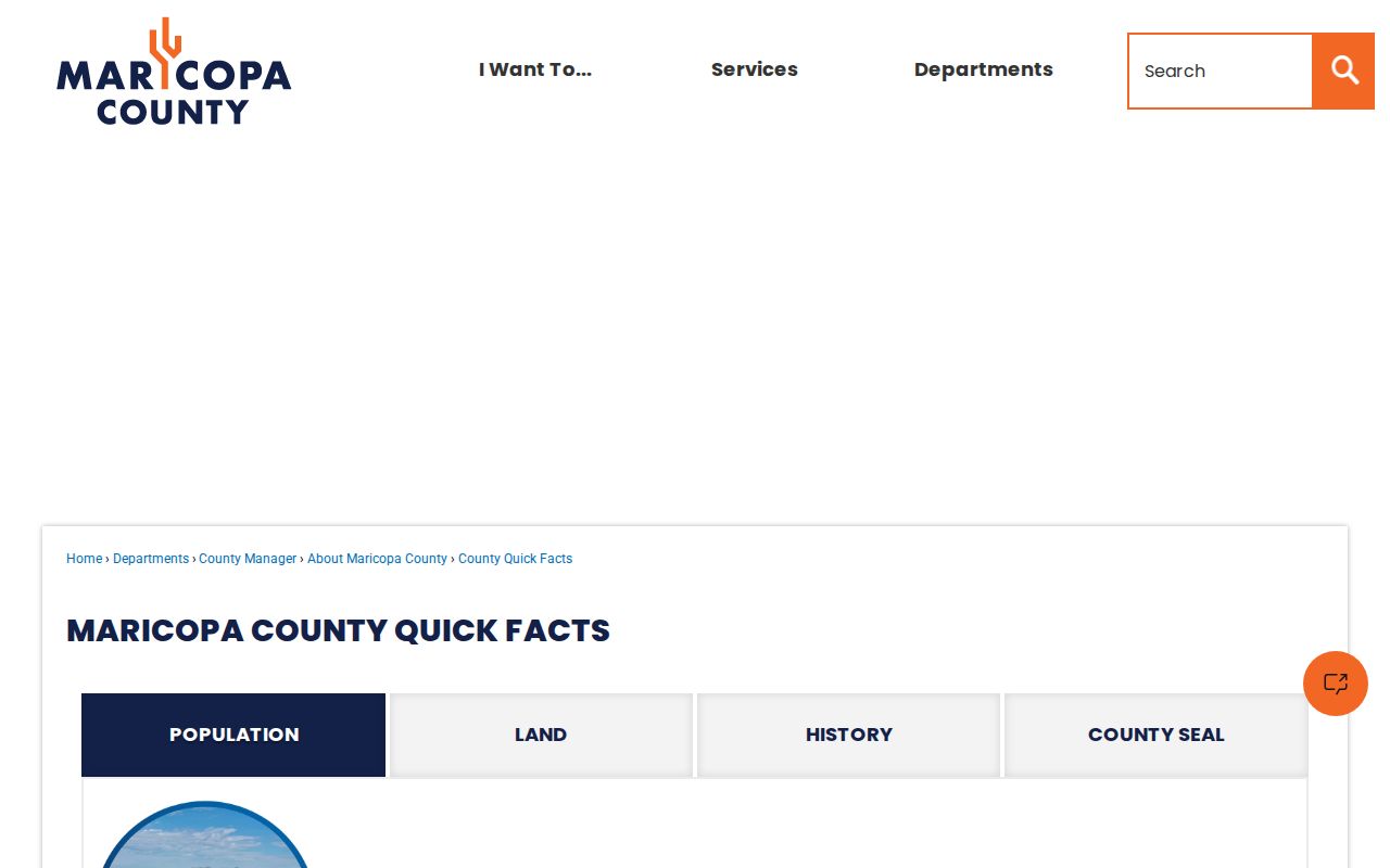
The county context reinforces the custody chain: USPS verifies delivery, the county assessor identifies a parcel, and Avondale maps test the city line. None of those sources alone identifies every resident in a ZIP.
Avondale ZIP Data Limits
A Census ZIP Code Tabulation Area, or ZCTA, is a statistical approximation built for demographic tables. It is not the USPS delivery boundary. Per-ZIP population drawn from a ZCTA must be labeled as ZCTA population. Voter registration counts also come from election data and should not be turned into ZIP population without an official cross-tab.
Current voter self-service is designed to verify one registration. Arizona voter-list access is governed by A.R.S. §16-168 and restricted to listed uses. Even where a lawful file includes a ZIP field, the result is not a public household directory and does not disclose a voter's choices. Confidential records and protected addresses remain outside ordinary browsing.
The Avondale ZIP code directory is strongest when it narrows geography, preserves source dates, and sends the search to the correct official record. USPS confirms delivery. The assessor confirms parcel fields. City GIS confirms the municipal line. Census measures a statistical area. Keep those roles separate.